Overview
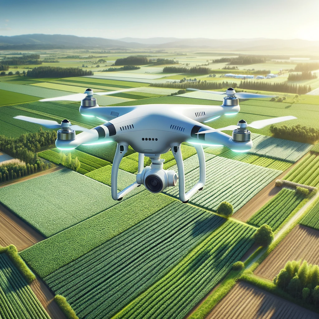
VerdeVista Precision combines aerial imaging, geospatial analytics, and agronomic intelligence to help farms monitor crop health, optimize inputs, and act on field conditions in real time. Built for precision agriculture teams, it turns drone data into decisions that improve yield, reduce waste, and support sustainable operations.
The challenge
Farm managers often rely on manual field walks and delayed reports, making it hard to spot crop stress, irrigation issues, or pest outbreaks early enough to protect yield.
Who it is for
Farm operators, agronomists, agricultural cooperatives, and land developers who need aerial intelligence for large or remote fields.